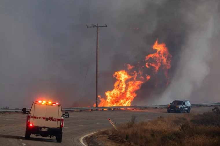
Southern California is about to get its first significant rainfall in months, bringing desperately needed relief after dry conditions and hazardous winds fueled a series of wildfires in January.
The rain could start as early as Saturday afternoon and last through Monday night with the heaviest rain coming on Sunday, the National Weather Service in Los Angeles said.
Experts have said the end of this tragic fire season would be marked by precipitation, which would bring moisture back to dry vegetation that has been fuel for the fires. Rain would also improve the air quality in the region, which has been poor due to wildfire smoke and ash that spreads far from the fires themselves.
But the storm is not without some fresh risks of its own: After raging wildfires, it doesn’t take much precipitation to cause a flood or mudslide.
Here’s how much rain Southern California will get
Rain is expected to be widespread, and reach Los Angeles, Ventura and San Diego counties, which have all been on high alert for major infernos while tamping down numerous brush fires. The storm will start Saturday morning over the Bay Area before making its way south later in the day.
In LA and Ventura, between 0.5 and 1 inch of rain is expected, with mountainous areas getting up to 2 inches, forecasters said. The rain is expected to come down intermittently and generally fall at a rate of 0.1 to 0.25 of an inch per hour, with some periods of heavier rain.
There’s also a 15%-25% chance of thunderstorms all across the region, the National Weather Service in Los Angeles said.
In the San Diego area, 2 inches or more are expected to fall on the coastal mountain slopes below the snow elevation. Between 0.75 and 1.2 inches could fall in the coastal areas and valleys; 0.5 to 0.75 inches in the high desert; and 0.25 to 0.6 inches in the low deserts, the weather service there said.